


Chorbari Bamak Glacier Travel Guide
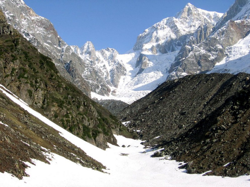
Chorbari Bamak Glacier is situtated in district Rudraprayag. The glacier is 6 km long and originates from the southern slope of Kedar-dome, Bhartekhunta and Kirti Stambh and this hill range is the water divide which separates the Gangotri group of glaciers and the Chorbari glacier. Several hanging glaciers and avalanche chutes feed the glacier. The lower part of the glacier is covered by thick debris and bounded by huge deposits of lateral moraines. The glacier starts from its accumulation zone and terminates at an elevation of 3800 m, from where a snow - melt stream originates, called Mandakani and merges into the Alaknanda at Rudraprayag.The glacier is approachable by road up to Gaurikund via Rudraprayag, Guptkashi and Son Prayag. From Gaurikund, a trek runs over the hilly slopes up to Kedarnath temple. From Kedarnath temple, there is a 3 km footpath to the glacier snout. Between the rock face and right lateral moraine of the glacier, there is a lake formed by glacier melted water called Ganghi-Saro.
Rudraprayag
,,